
Discreet residential and protective support in Berkhamsted. Coverage is shaped by a narrow Chiltern valley with the castle, the canal and the High Street on its floor, large houses on the slopes and lanes above, and the West Coast Main Line putting Euston under forty minutes away.
Berkhamsted lies in the Bulbourne valley on the Hertfordshire edge of the Chilterns, with the ground rising steeply on both sides. The long High Street follows the Roman Akeman Street along the valley floor, the Grand Union Canal and the railway run beside it, and the earthworks of the Norman castle, a royal residence for four centuries, stand by the station. Berkhamsted School, founded in 1541, occupies much of the old town around the church. The larger houses climb the slopes: Victorian and Edwardian villas on Castle Hill and Castle Hill Avenue, Doctors Commons Road and Kings Road, and further out the lanes towards Potten End, Northchurch and the 1,055 acres of Berkhamsted Common, shared between the National Trust and the golf club. Beyond the common lies the Ashridge Estate, 5,000 acres of woodland and parkland around Ashridge House. Residents are professional families and business owners who chose the town for the school and the line. Euston is under forty minutes away and the A41 links to the M25. Exposure sits at the station, on the narrow High Street and on the long unlit lanes above the town.
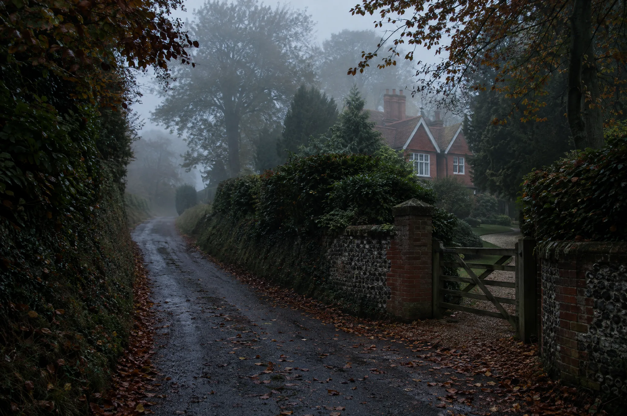
The valley shapes everything we do here. Houses on the slopes are overlooked from above and screened from below, and the lane that gives a family privacy is also its only way in and out. We assess the property against that terrain: the drive off the lane, the boundary onto the common or the woods, the towpath where it runs behind a garden, and the sightlines from across the valley. Residential protection draws on access control and continuity, arranged so a house on Castle Hill looks no different from its neighbours. For principals commuting to Euston we plan the station approach and the London arrival together, and for households that drive we cover the A41 and the M25. A client carried alert capability suits a family spread across the common, the school and the town. Protective intelligence keeps the picture current as staff and contractors change. The work is quiet, in keeping with a town that values being left alone.
Residential Protection covers the houses on Castle Hill, the properties beside the canal towpath and the plots on the lanes towards Ashridge, each with its own public edge.
Security Chauffeuring handles the run to the station for Euston, the A41 to the M25 and a school run sharing a single valley road with everyone else in town.
Close Proximity Response is offered to families whose teenagers walk the towpath or cross the common alone, giving them a discreet alert and a planned response without an escort.
Berkhamsted is a valley with two ways out. The A41 and the railway run along its floor, and everything else is a lane climbing out of the town onto the Chiltern plateau.
That geography sets the residential picture. Houses on the north slope around Castle Hill and Castle Hill Avenue have the town below them and the common above, with gardens that back onto woodland and public footpaths. Houses on the valley floor have the canal towpath, public and unlit, running along the bottom of the garden.
The lanes towards Potten End, Frithsden and Northchurch carry the largest houses. Long drives, high hedges, no street lighting and few passing vehicles, which means a parked car is remembered and a walker on the footpath is not.
The commute is long enough to plan. Euston is under forty minutes by fast train, and the station, beside the castle, has a single approach that every commuting household uses. The London end is often the West End rather than the City.
The school dominates the middle of the town. Berkhamsted School's sites are spread along the High Street and Castle Street, and the school day moves several thousand pupils and parents through the centre at fixed times.
The county boundary is close. The town sits at the western edge of Hertfordshire, and the lanes beyond Ashridge cross into Buckinghamshire within a few miles, so a household's picture often spans both.
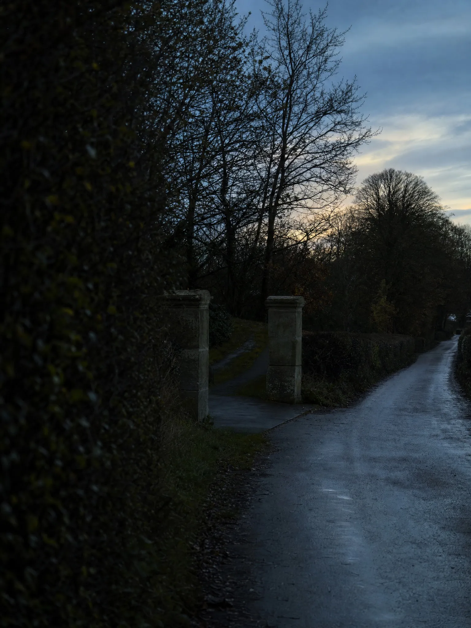
Term dates run the town. The school day fixes departures and arrivals for most households, and the High Street is at its most crowded in the half hour either side of the bell. The summer break moves families abroad and leaves houses on the lanes with staff and gardeners.
The common and Ashridge draw visitors through the year, heaviest in autumn when the beech woods colour, and the lanes near private houses fill with parked cars and walkers.
The canal and the castle bring summer crowds to the valley floor, and the towpath behind valley houses is busier by day and emptier by night than families realise.
Winter is the residential season. Early darkness leaves the lanes, the common and the towpath unobserved from four in the afternoon, and the slopes that give the town its views give public ground a view back. The county town, St Albans, is half an hour east and raises a different, more urban set of questions.
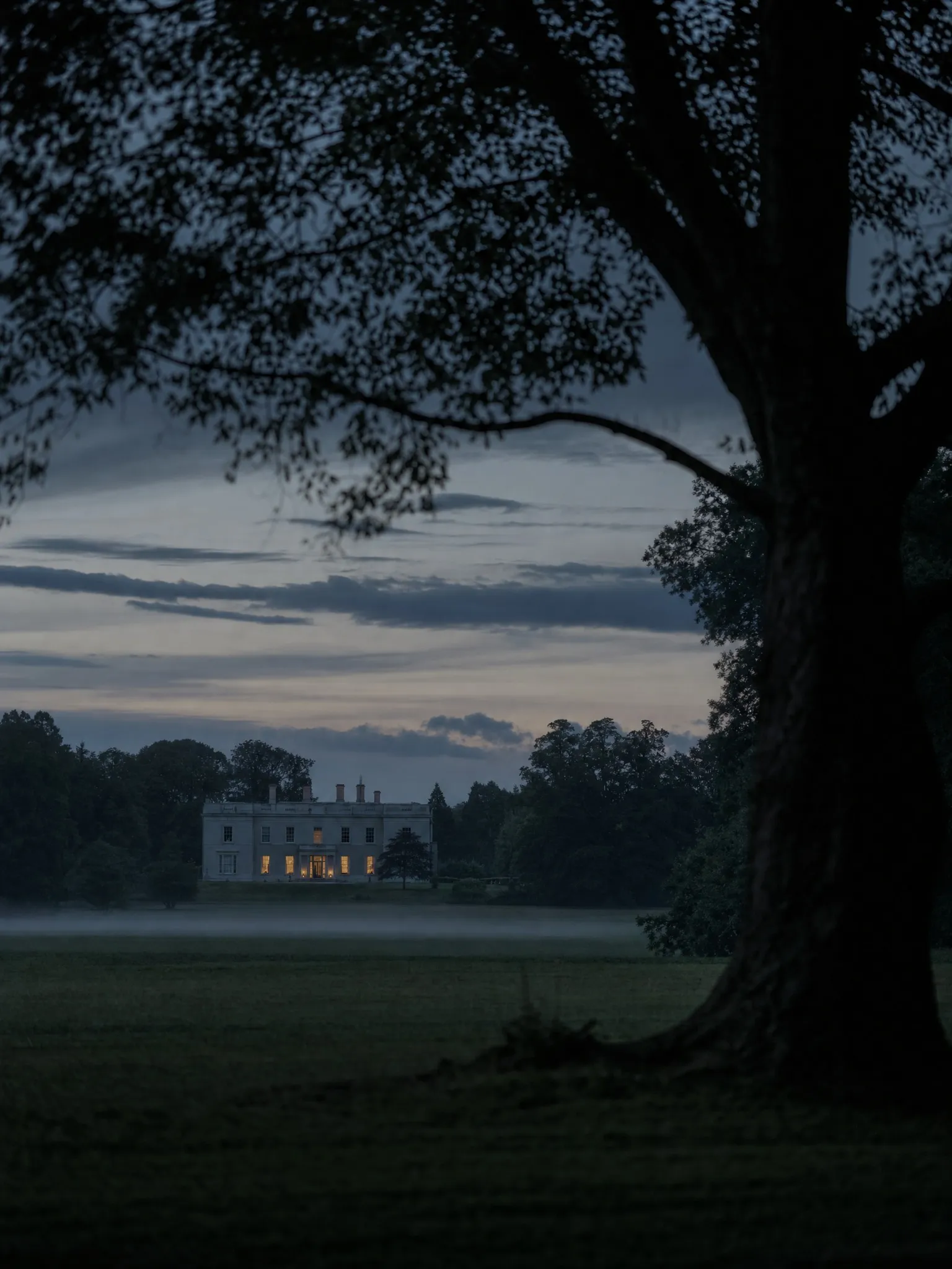
Residential assessments are the standing request. A family has bought a house on the slope or a lane above the town and wants to understand the boundary onto the common or the woods, the drive off an unlit lane and the number of people who hold a key. The rear boundary is usually the finding.
Security chauffeuring follows, covering the London journey for a principal who prefers a car, the school run through the centre and the airport runs to Heathrow and Luton.
Families ask for a way of keeping a response close to a teenager walking to school or a spouse riding on the common, without an escort.
Threat and risk assessments arise when a business sale, a dispute or a public role brings a quiet address into view.
Technical examinations are occasional and follow building works.
Houses that back onto the common, the woods or the towpath are surveyed under residential protection, in daylight and after dark.
The commute and the school run through the valley are covered under security chauffeuring with a driver who records what is seen on the lane.
All enquiries are handled discreetly and reviewed before engagement suitability is determined. Information should be limited to what is necessary to outline the matter. Where appropriate, further contact is arranged following review.

Protect
Executive ProtectionDiscreet, intelligence led executive protection for private clients, principals and families, designed to reduce exposure and preserve freedom of movement without unnecessary visible presence.
Mitigate
Threat and Risk MitigationStructured assessment that identifies where exposure exists and reduces it through proportionate, targeted measures across people, places and routine.
Detect
Surveillance DetectionSurveillance detection identifies hostile interest and emerging patterns of activity, providing early warning of potential threats before targeting progresses to action.
Sweep
Technical SurveillanceTechnical surveillance that detects covert devices, unauthorised transmissions and technical compromise across residences, offices and sensitive environments.

Secure
Security ChauffeuringSecure movement delivered through trained protective drivers, considered route planning and continuous situational awareness.
Fortify
Residential ProtectionResidential protection for private homes and estates, drawing on assessment, access control and continuity to protect principals and families at home.

Respond
Close Proximity Response™A discreet, client carried alert and live location capability that lets a protective team maintain proximity and respond immediately, without an overt security presence.